Where is Bali? What is Bali? Tell me about Bali? These are all great questions and we wanted to help people understand the answers and more.
So, here we’ll discuss whether Bali is in Indonesia (spoiler alert, it is) and much more besides.
If you’re hoping to come to Bali on vacation or just learn more about the place for curiosity’s sake, you’re in the right place. We think we’ve got the answers to all (or almost all of your awesome questions about Bali).
What Is Bali?
It’s probably a good idea to define what Bali is, to begin with.
That’s because there appears to be a lot of confusion about this and this is probably because Bali gets name-dropped a lot on travel programs and in the news, without much explanation of what Bali is.
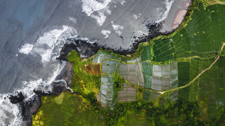
Bali Is An Island
First and foremost Bali is an island.
The National Geographic Society says that an “island is a body of land surrounded by water, continents are also surrounded by water, but because they are so big, they are not considered islands.”
This means that Bali is obviously an island as it has an area of roughly 5,780 kilometres squared (that’s about 2,232 square miles).
This is pretty small compared to the smallest continent, Australia, which covers an area of 8 million square kilometres (about 3 million square miles).
Bali is also surrounded entirely by a body of water. Thus, Bali is an island.
Bali Is A Province
Bali is also a province. It is made of 9 regencies, Bali’s capital city, Denpasar and 3 major islands (the Nusa Islands of Nusa Penida, Nusa Lembongan and Nusa Ceningan) and a bunch of tiny islands that all have names but barely anyone knows.
A province is an administrative region of a larger nation and this brings us on to our last point in this section, what Bali is not.
Bali Is Not A City Or A Country
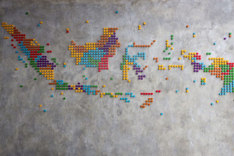
Bali is not a city. Unlike some islands such as Corfu or Singapore where the capital city is named after the island, this is not true for Bali.
Bali’s provincial capital as we’ve already mentioned is the city of Denpasar and there is not a single city named “Bali” on the island.
In fact, there’s really only one city, the rest of the island is covered in small-ish towns and small villages.
Bali is also not a country and we will come to which country Bali is in, shortly.
Where Is Bali?
We won’t go into the excruciating details of Bali being on the third planet from the sun or anything silly but it’s quite important to describe where Bali is located.
And the thing is you can define this in many, many different ways. We’ve got 11 ways to say “here’s Bali located in context with other things” and in doing so, we can answer the question of which country Bali is in.
The Tropics
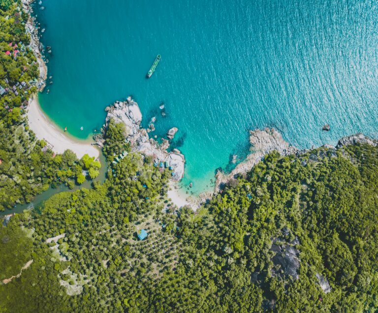
Firstly, Bali is in the tropics. This means that if you look at a map of the world, you will find the equator drawn around the centre of it and somewhere above and below the equator you will find two smaller lines, the Tropic of Cancer and the Tropic of Capricorn.
The Tropic of Cancer is the point on the Earth where the sun is directly overhead at midwinter’s day (in the Northern Hemisphere) and the Tropic of Cancer is where the sun is directly overhead on midsummer’s day (in the Northern Hemisphere).
The Northern Hemisphere is used for reference because the maps and terms were all invented by Europeans from the Northern Hemisphere.
What this means for Bali and other places in the tropics is that they are in a “temperate zone” which is a way of saying it’s warm and pleasant all year round.
This is great news if you love scuba diving to see new marine species, lounging on the beach in coastal areas or trekking in places like Mount Agung.
It also means that there are only two seasons in Bali rather than the three or four found outside of the tropics – the dry season and the rainy season.
People often say the dry season is the best time to come to Bali because it’s a bit cooler and less humid, but it’s also more crowded and flights and hotels cost more in the dry season.
In contrast to the dry season, the rainy season has more rain, is more humid and it’s often warmer too but it’s also cheaper to stay and come to Bali at this time of year. You also get roughly 8 hours of sunshine a day, it rarely rains all day long in the wet season.
Southern Hemisphere
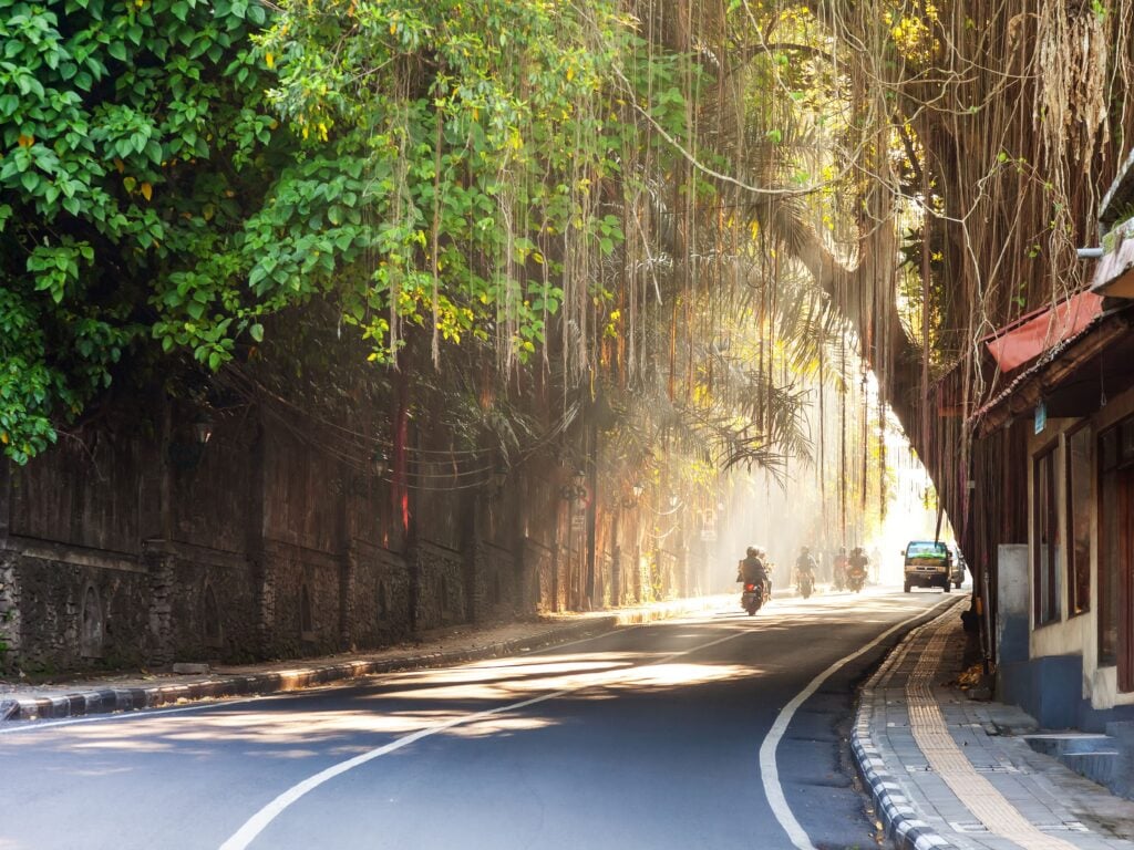
Bali is also in the Southern Hemisphere which is it’s below the equator on a map (also drawn by Europeans – in fact, North vs South is purely arbitrary and had Australians developed the first maps, they would all be upside down compared to today’s maps).
Interestingly, of the 8 billion people on Earth, only about 1 billion of them, roughly 1 in 8 people, live in the Southern Hemisphere.
More than half of those people live in just two countries – Indonesia and Brazil!
There are only 5 million people in Bali which means it accounts for just 0.5% of the population in the Southern Hemisphere.
Asia
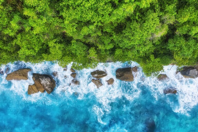
Bali is also in Asia, the largest continent in the world by both the area of land that it covers (roughly 44 million square kilometres and that’s about 30% of all the land in the world) and in terms of population 4.561 billion people (more than half of the world lives in Asia).
The largest countries by population in Asia are China, India and then Indonesia.
Interestingly, some of the definition of where the boundaries of Asia lie is based on human factors and not geographic ones.
That means that somewhere in Indonesia there is a border between the region of Asia and the region of Oceania. However, this isn’t based on geography but rather on the decisions made by European colonists.
For the moment, that border is not close to Bali and is placed next to the Maluku Islands but it’s entirely possible that this may change over time.
Southeast Asia
Southeast Asia consists of all the countries and islands, in Asia, that are south of mainland China, east of the Indian subcontinent and northwest of Australia and Oceania.
There are ten nations in Southeast Asia including Brunei, Cambodia, East Timor, Indonesia, Laos, Malaysia, Myanmar, Philippines, Singapore, Thailand and Vietnam. These are also known as the ASEAN countries (Association of South East Asian Nations).
Indonesia and the Philippines are the two largest archipelagos in the world and between them, they account for over 28,000 islands!
One of those islands is, of course, Bali.
Indonesian Archipelago
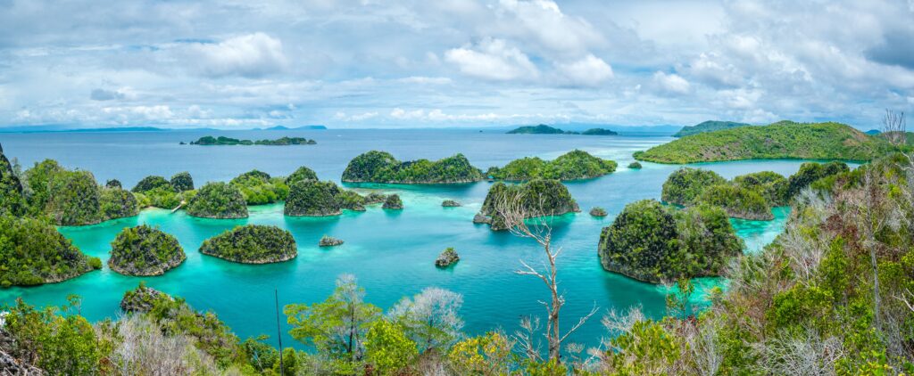
Bali is a part of the archipelgao of Indonesia but though the island had fallen under Dutch colonial rule by the start of the 19th century, it had not become part of the larger political union of Indonesia at that point.
After all, Balinese Hinduism is very different from the Islamic faith of all other islands in the archipelago (and so are Balinese ceremonies), the Balinese language isn’t even from the same linguistic family as Bahasa Indonesia and the island’s population was fiercely independent.
In fact, it wasn’t until after World War 2 in 1950, that Bali became a part of the Republic of Indonesia officially and we can say for certain, now, that Bali is in Indonesia.
Interestingly, while not every part of the archipelago is pleased to be part of the republic, Bali has almost no separatist movement to speak of and appears to be quite happy with the island’s relationship with the government in Jakarta.
Lesser Sunda Islands (Nusa Tenggara Islands or Kepulauan Nusa Tenggara)
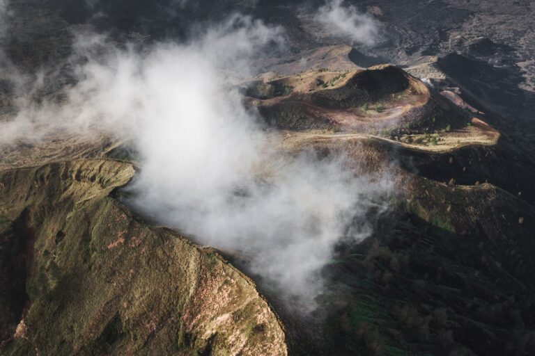
Bali is also part of a smaller island grouping known as the “Lesser Sunda Islands”. This is a pair of archipelagos that are both found on the Sunda tectonic plate.
One of the reasons that Bali is often prone to earthquakes is that Indonesia is right over the meeting point of the Sunda Plate of Asia and the Australian Plate.
The Lesser Sunda Islands including Bali are all on the Sunda plate and the rest of the republic is not.
This is one of the most geologically complex regions of the world and there are an enormous number of active volcanoes within this region including Mount Agung and Mount Batur in Bali.
The islands in this part of Indonesia are very different from the big islands of Sumatra and Java, mind you, and there is often a big ocean trench between each island.
This has meant that this part of Bali has a lot of unique species on each island. Sadly, many of Bali’s unique species have been lost to extinction such as the Bali Tiger, though the Bali Mynah is still hanging on.
Komodo is part of this group, though, and the Komodo Dragon is probably the most famous unique species to have emerged in the Lesser Sunda Islands.
Interestingly, the wildlife and flora in this part of Indonesia are all clearly Asian and are descended from Asian parent species.
The wildlife and flora in the rest of the country, according to the famed naturalist Alfred Wallace, are Australasian by nature.
One other thing about the Lesser Sunda Islands is that they have the driest climates in Indonesia, so that may explain why Bali’s wet season isn’t as bad as the monsoon season elsewhere.
Indian Ocean
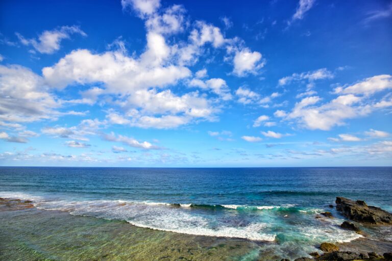
Bali is in the Indian Ocean which is the third largest body of water on the planet. It contains nearly 20% of all the water on Earth.
However, you could be forgiven if you thought that Bali was in the Pacific Ocean.
The Bali Sea is the point where the two oceans meet and water flows from the Pacific Ocean into the Indian Ocean via the Bali Strait and the Lombok Strait.
However, Bali is entirely surrounded by the waters of the Indian Ocean and not the Pacific Ocean.
The name “Indian Ocean” comes from European colonists who named it after the country, India. In China, it has long been called the “Western Ocean” and to the Ancient Greeks it was known as the “Erythraean Sea”.
Ring Of Fire
Officially, Bali is part of the area known as “The Ring of Fire” a huge region that stretches from Indonesia and the Philippines to South America.
It contains roughly 750-915 volcanoes (there is some heated debate among vulcanologists about which mountains are either dormant or extinct volcanoes and thus, there is no exact figure for this).
Over 350 of these volcanoes have proven to be active during the period of recorded history and the four largest eruptions in history occurred in this region during the Holocene era.
That means 66% of the world’s volcanoes are in the ring of fire, and 90% of the world’s earthquakes take place in this zone too, including 81% of the largest earthquakes ever known.
However, there are fierce debates among geologists as to how much of the country of Indonesia really belongs in the Ring of Fire.
While currently, the whole country is included, it may be only the islands to the east of the country that remain once the debates are over.
Sunda Arc
While we are not qualified to offer an opinion on whether Bali is really part of the Ring of Fire or not, we can categorically state that Bali belongs in the Sunda Arc.
This is a volcanic arc that produces the volcanoes that makeup what’s known as a “topographic spine” (that just means they stick up in a lonne) that runs through Sumatra, The Less Sunda Islands, Nusa Tenggara, Java and the Sunda Strait.
One end of this arc begins in Flores and the other in Sumatra. There is another volcanic arc that runs nearly parallel to the Sundar Arc in the form of the Banda Arc.
This is an area of considerable seismic activity and volcanic activity. The seismic activity has led to two tsunamis in recent years, the first which affected Bali was in 2004 and the second which affected Java was in 2006.
As for volcanic activity, while both Mount Agung and Mount Batur have erupted with locally devastating effects in recent years, they have nothin on Mount Tambora in Sumbawa in 1815 and the eruption of Mount Samalas in Lombok in 1257.
These are two of the largest volcanic eruptions of the last 1,000 years anywhere in the world.
However, the largest eruption ever in the Sunda Arc was a supereruption of the Toba volcano in Sumatra in the Cenozoic era which is thought to have seen 2,800 cubic kilometers of magma ejected from the caldera!
The loudest eruption in history also occurred in the Sunda Arc when Krakatoa erupted in 1883 and could be heard over 5,000 kilometres (that’s over 3,100 miles) away!
The Wallace Line (Bali Is Not In Walacea)
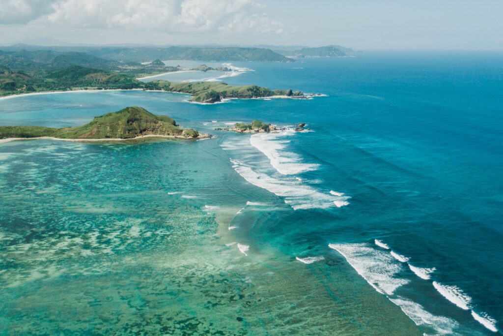
The Wallace Line is something of an arbitrary line on the map, it was drawn by the Naturalist Alfred Russell and indicates the separation point between Asiatic species of animal and Australasian species.
Walacea is the area that he defined as containing the Australasian species and as we’ve already noted, the animals in the Lesser Sunda Islands are of Asian descent.
Thus, Bali lies on the wrong side of the Wallace Line to be part of Walacea, even though the majority of Indonesia is in Walacea.
Why is there a defined split between the two sets of animal species? Well, it’s down to the depth and width of the ocean between these islands and the rest of the archipelago.
There’s little evolutionary incentive for animals to swim over large bodies of water and without being carried there on boats, they tend to stick to places where they can see land.
(So animals may opt to cross rivers if they can see the other side, but rarely go further than that over water).
The Coral Triangle
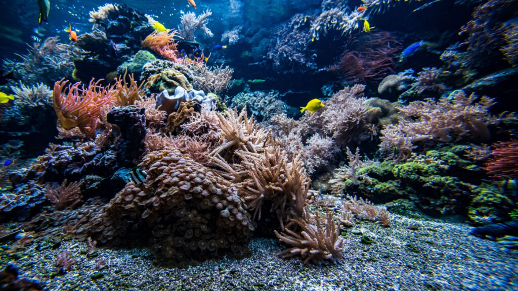
The coral triangle is an area that looks like a triangle (ish) that has been drawn around the tropical waters of Indonesia, the Philippines, Papua New Guinea, the Solomon Islands, Malaysia and Timor-Leste.
Bali is found nearly in the corner of The Coral Triangle and as anyone who who has dived in the area will know, it certainly merits its place in The Coral Triangle.
It gets its name from the incredible biodiversity of its coral reefs. It contains, at least, 500 unique coral species and has far more coral than the world-famous Great Barrier Reef in Australia.
It is a global hotspot for biodiversity and you may hear this part of the oceans called the “Amazon of the seas” too.
It is home to:
76% of all shallow-water coral reef-building coral species
37% of all reef fish species
85% of all endangered turtle species
21 species of seagrass
40 recently discovered deep-sea coral species that surround deep-sea volcanoes nearly 4,000 meters below sea level
half the world’s razor clam species
more than 3,000 species of bony fish
the world’s biggest mangrove forest
Nearly 120 million people depend on the Coral Triangle’s resources to feed themselves and the estimated annual GDP of this area is over $1.2 trillion USD!
The World Wide Fund for Nature (WWF) has marked this region out as one of the most important areas of conservation on the planet.
Where Is Bali On The Map?
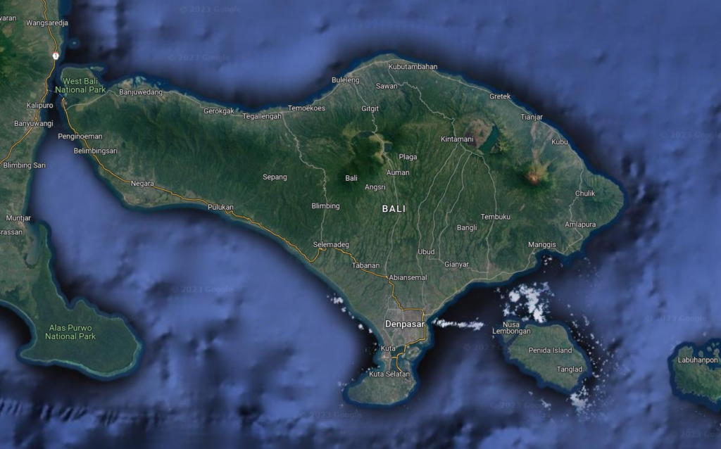
On the world map (a Mercator Map or a Peters Map, will do nicely) you will find Bali located above Australia in the Indonesian Archipelago. It is about 1/3 of the distance across the archipelago.
The easiest way to find Bali on a map is simply to fire up Google Maps in your browser or on your smartphone and use that service to locate the island.
Is Bali Considered Indonesia?
This question is a touch vague. Bali is part of Indonesia. It’s not, however, the whole of Indonesia. In fact, Bali is just one island among over 18,000 islands that make up the nation of Indonesia.
There are roughly 5 million Balinese people who hold Indonesian passports but there are 273 million, approximately as we go to press in 2023, Indonesians in total!
Balinese people are just one of 300 different ethnic groups in Indonesia and Bahasa Bali, the local language, is just one of 1,000 languages spoken in Indonesia!
Indonesia is expected to be one of the big growth territories in terms of the global economy over the coming decades and much of this is due to its large, young population.
While Indonesia as a whole is currently the world’s 16th largest economy, if you use Purchasing Power Parity (PPP) to compare economies (that is how much can they each buy with the money that they have), according to the World Bank, Indonesia is now the 10th largest economy.
Indonesia is also a member of the G20 nations which meet on a regular basis to discuss and develop the direction of the global economy.
Is Bali In Asia Or Indonesia?
Both! Bali is in Asia and in Indonesia. The entirety of the Indonesian archipelago is in Asia, in fact.
Asia is one of seven continents that cover the entire world and every country falls into either one or two of these continents at most.
The continent that a country belongs to is based on geography and the underlying tectonic plates of each continent.
Which Part Of Indonesia Is Bali In?
Bali is part of a chain of islands in Indonesia that make up a pair of sub-archipelagos of the larger country.
These islands are Atauro, Alor Archipelago, Bali, Barat Daya Islands, Flores, Lombok, Rote, Sumbawa, Sumba, Savu, Timor, and the Tanimbar Islands.
Is Bali Its Own Country?
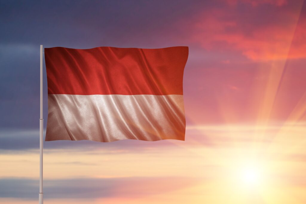
No, in fact, Bali is an island or a province but it is not and never has been a single country or a city.
Before Bali became an official part of Indonesia, it was split into 9 separate kingdoms or countries!
These were the Bangli, Buleleng, Badung, Gianyar, Jembrana, Karagasem, KlungKung, Mengwi and Tabanan kingdoms.
If those places all sound familiar to you and you’ve been to Bali before, they should sound familiar.
They are all regencies of modern-day Bali (except Mengwi which is a village) and while there is no formal recognition of Balinese kings and their families in Indonesia on an official level – all the royal families are still in Bali.
In fact, tourists and Balinese alike are often welcome to tour the royal palaces and gardens of these families, who are still influential in their local communities.
Where Is The Country Of Bali?
There is no country of Bali, just an island of Bali. Bali is part of Indonesia which is in Southeast Asia.
Where Is Bali In Relation To Australia?
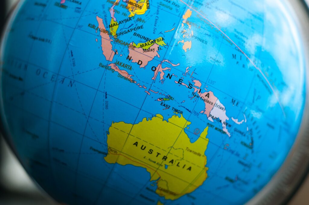
You will find Bali on a map to the north of the north coast of Australia, it’s also south of Malaysia and to the southeast of Singapore.
Where In The World Is Bali On A Map?
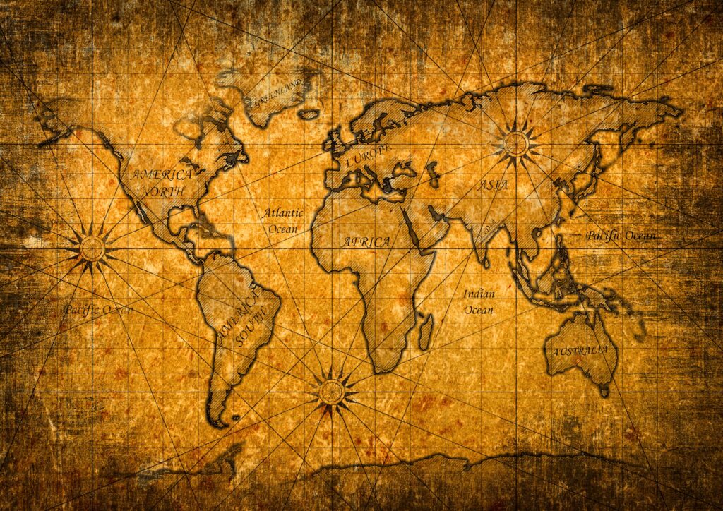
It’s actually quite difficult to find Bali on a map unless you have a strong geographic understanding of Asia.
The long thin country made up of lots of islands to the North of Australia is Indonesia.
If you then follow the chain of islands along, about one-third of the way from the end, right next to Java (which Bali was once joined to by a land bridge) you will find Bali.
What Is Bali Classed As?
Bali is both an island and a province. The province of Bali includes many very small islands (such as the one where you will find the temple of Tanah Lot) that aren’t really big enough to remember for most people, including the Balinese themselves.
However, it also includes the three Nusa Islands which are Nusa Penida, Nusa Ceningan and Nusa Lembongan. Don’t confuse these with Nusa Dua which is on the Bali mainland.
Which Area Is Best To Stay In Bali?

This is very much going to depend on you and what you want from a trip to Bali.
South Bali is often the most popular part of the island with tourists and it includes the beach towns of Canggu, Kuta, Legian, Seminyak, Sanur and Uluwatu.
The majority of these towns have plenty of tourist attractions to enjoy and, of course, beaches. Not all the beaches are white sand beaches, mind you, some areas have black volcanic sand beaches.
The other popular tourist destination in Bali is Ubud which is in the central mountains of Bali, Indonesia.
Ubud is very different from the beach resort towns and tends to attract tourists seeking cooler climates, spiritual and wellness retreats and with more focus on the local culture.
Oddly, Bali’s capital city, Denpasar, doesn’t get very much in the way of tourism at all, even though it’s also in South Bali.
Which Part Of Bali Is Beautiful?
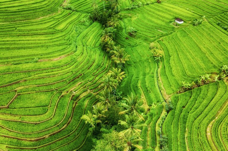
All of Bali is beautiful. It’s a tropical island in the Indian Ocean with amazing beaches, award-winning rice terraces, dramatic live volcanoes, lush jungles and so much more.
Which part is most beautiful? It very much depends on your tastes. We think there’s nothing finer than watching the sunset while sipping cocktails on the beach at FINNS Beach Club in Canggu.
However, we’d be happy to acknowledge that there are so many beautiful places in this country that picking “the most beautiful” is simply impossible.
How Do You Get To Bali, Indonesia?
Nearly everyone who has visited Bali has flown into the country via the Ngurah Rai International Airport. There are a few cruise ships that arrive here too but Bali is quite a long way from much of the rest of the world when coming by boat, so the majority of arrivals are by air.
The good news is that flying to Ngurah Rai International Airport which is often called Denpasar International Airport and its airport code is DPS, is relatively easy.
There are direct flights from all over Southeast Asia and from Australia. There are fewer direct flights from the rest of the world, but it’s fairly simple to fly to Singapore, Kuala Lumpur, Bangkok, or even Jakarta and then get a connecting flight to Bali.
How Do You Get Around Bali?

It’s fair to say that public transport in Bali is in its infancy.
There are talks of sky trains, trains, monorails and subway systems in the future due to the ever-increasing traffic volumes on the island but for now, there isn’t a huge amount of choice in ways to get about here.
There are some very limited bus services from certain parts of the island, some of which can even take you to other islands (using a ferry for the water crossings, of course) but mastering the bus system here in Bali is not always easy and very hard if you don’t speak the language.
This leaves two main forms of land transport – cars and motorbikes.
It is legal to drive in Bali as a foreigner but you must have a current driving license and if you want to drive a scooter it must have a motorbike endorsement. So, if you only have a car license, you can’t legally drive a motorbike.
This won’t stop people from renting you a motorbike but if you’re not legal, your insurance is invalid and you can potentially get into trouble with the law.
You also need a current international driver’s permit (IDP), which can only be obtained in the country where you obtained your driving license.
As of 2023, Bali does not allow foreigners to learn to drive or hold a Balinese license unless they have a long-term residency visa.
If you wish to drive a scooter legally, you also need to wear a helmet at all times.
You cannot drive a car or scooter legally under the influence of alcohol.
All this means that most holidaymakers in Bali will use the services of either Grab or Go-Jek the two ride-sharing apps on the island (the Indonesian equivalents of Uber) or they will simply hire a car and a driver for the day.
This is much more fun, particularly when you consider that driving here in Bali is often a terrifying experience thanks to local drivers that don’t really follow any rules of the road and poor road surfaces.
It’s best to avoid coming to the island of Bali and having an accident as the local hospitals can be quite expensive.
If you wish to visit the Nusa Islands from the island of Bali there are options to take a ferry or a fast boat (speedboat). These leave from the Padang Bai and Sanur harbours in Bali.
Where To Buy A Bali Map?
You can find a Bali Map using Google or purchase one from Amazon. You may also be able to pick one up while you’re here in Bali or from a bookstore back home.
Google Maps does work in the Indonesian islands but some of the results it displays can be a little hinky at times. So, please check, before you set off on any journey that you’re going to the right place.
How Do You Book A Trip To Bali?
We always advise people to book a trip to Bali island through the amazing Bali Res Centre. This is a locally owned and operated travel agent.
They can help you find the perfect place to stay on Bali island and the right flights to get here. They are also brilliant at arranging tours that can help you find the best places on Bali island to see and experience.
Their local contacts ensure that you get competitive pricing, no matter where you stay on Bali island and if you spend your holiday dollars with the Bali Res Centre, you keep them in the local economy which is good for everyone here in Bali.
Where Can You Find More Bali Travel Tips?
Here on the FINNS blog! We’ve got more Bali travel tips than you can shake a stick at and best of all, they’re all free! No paywalls. No credit card demands. Just lots of info based on our experience of the island of Bali.
Final Thoughts On Bali Island
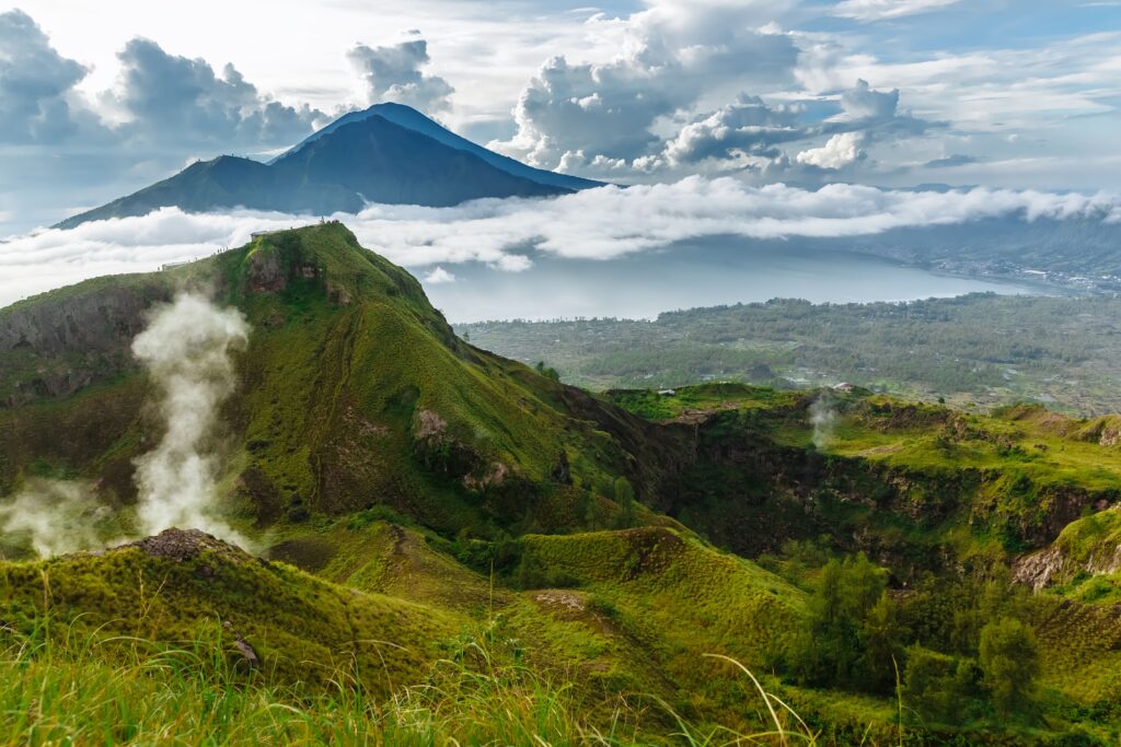
So, there you have it. Bali is an island which is in Southeast Asia and is part of the Indonesian archipelago and Indonesia, the country.
It’s a beach destination and a cultural destination (did you know there are over 20,000 temples in Bali?) and so much more.
The most popular part of the island is the Southern part and if you visit the South of Bali, we hope to see you at FINNS, the world’s best beach club.


